2 minute read

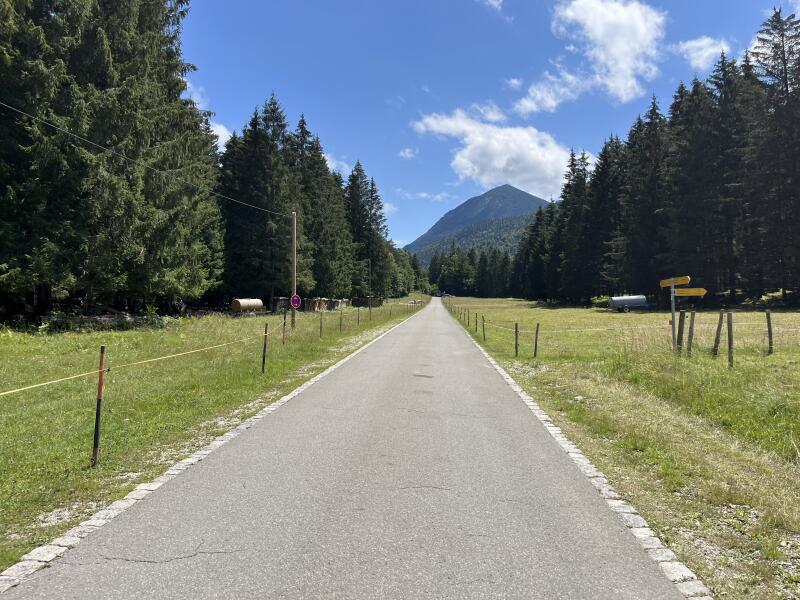
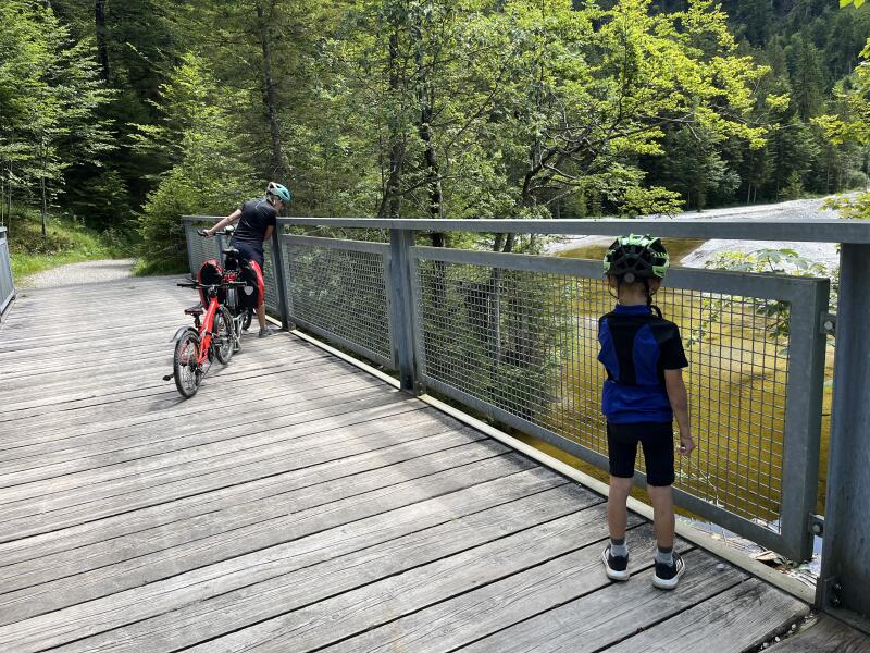
Das Eschenlainetal beginnt in Eschenlohe im Loisachtal und reicht in südöstlicher Richtung bis nach Einsiedl am Walchensee. Durch das wildromantische Tal verläuft ein 10km langer und relativ breiter Weg, der meist sehr gut mit dem Fahrrad (idealerweise MTB) befahren werden kann.

Deutsch

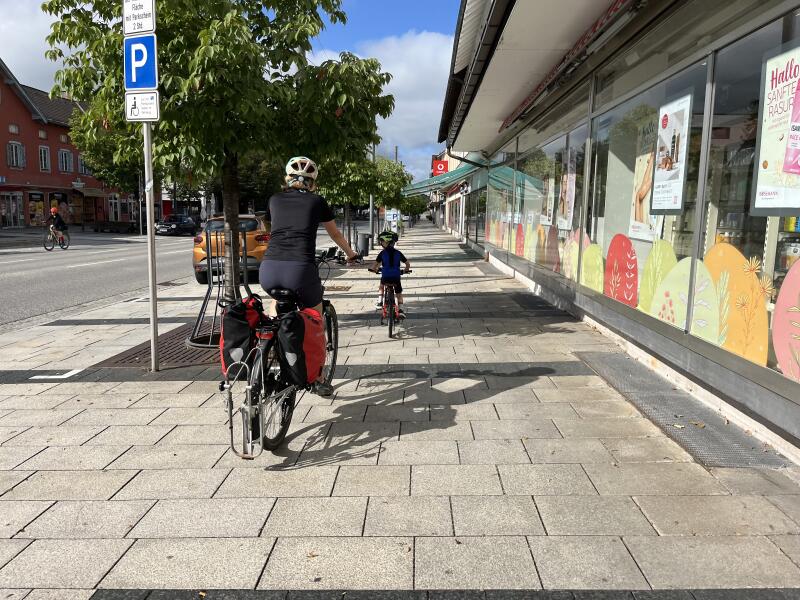
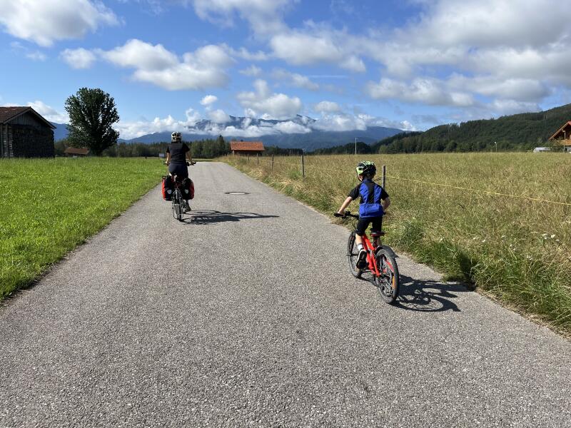
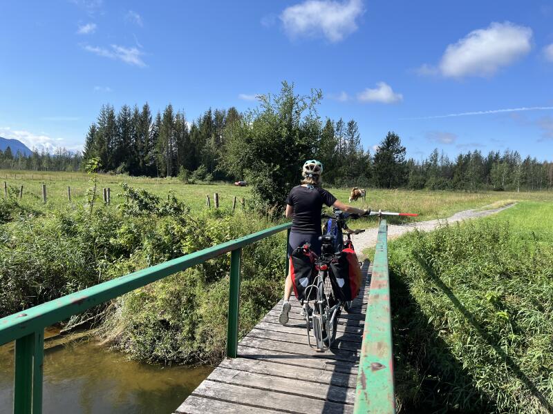
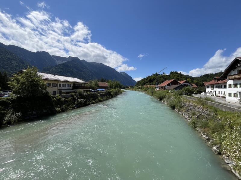
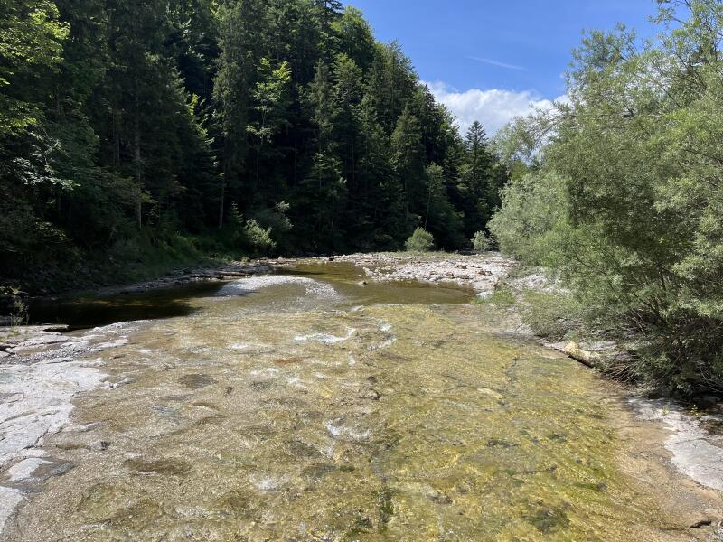
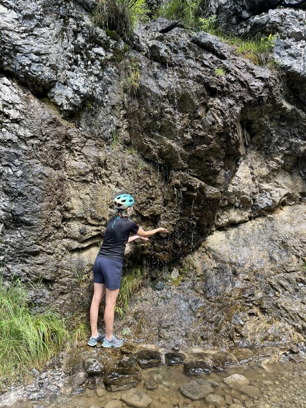
Wir sind in Penzberg gestartet und über Sindelsdorf, Großweil und Ohlstadt nach Eschenlohe geradelt, bevor es nach einer kurzen Pause auf der Loisachbrücke weiter ins Eschenlaine-Tal ging. Nach etwa 2 Kilometern und dem ersten leichten Anstieg endet auf Höhe des Wanderparkplatzes zur Osterfeuerspitze der asphaltierte Teil des Weges und geht in einen Forstweg über. Danach gab es insgesamt vier steilere Passagen, bei denen wir mit unserem Gravelbike bzw. E-Bike schieben mussten. Die Passagen sind aber relativ kurz und erfordern max. 5-10min schieben bzw. radeln. Mit der ersten Passage, die nach ca. 4km und direkt nach einer Flussüberquerung beginnt, hat man den steilsten Teil aber schon hinter sich. Trotz des gut ausgebauten Weges, wirkt das Tal sehr naturbelassen und man trifft meist nur andere Radfahrer.

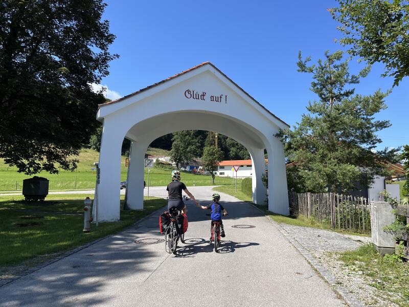
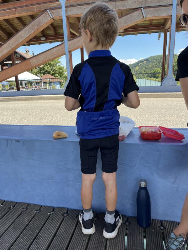
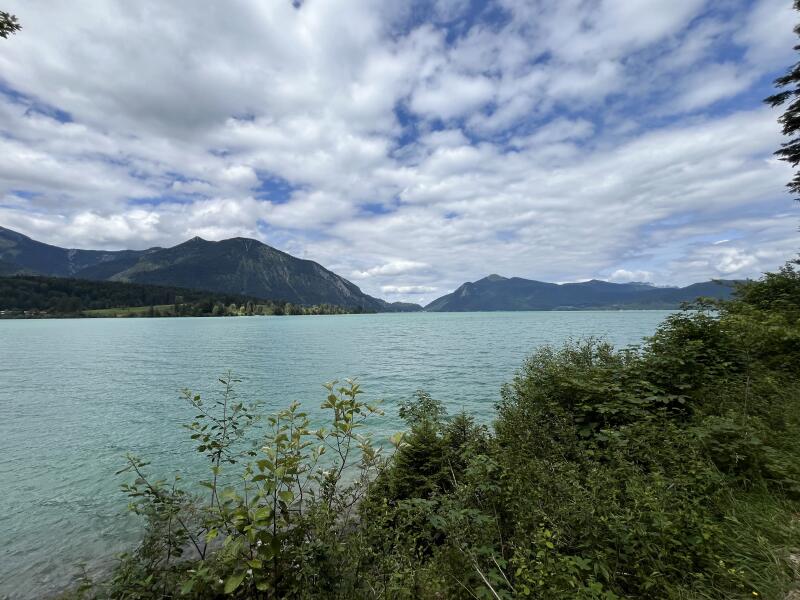
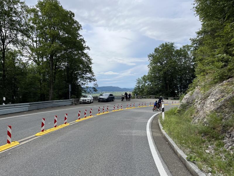
Wir sind danach weiter über die Mautstraße um den Walchensee herum geradelt, wo wir nach einer kurzen Badepause noch in der Waldschänke Niedernach eingekehrt sind. Das Personal ist sehr freundlich und füllt den Radfahrern sogar kostenlos Trinkflaschen auf. Dann ging es über die Kesselbergstraße zurück ins Voralpenland und nach Penzberg. Eine schöne Tagestour, die auch meinem 6 jährigen Sohn gefallen hat.

English (DeepL)

The Eschenlain Valley begins in Eschenlohe in the Loisach Valley and extends in a south-easterly direction to Einsiedl am Walchensee. A 10 km long and relatively wide path runs through the wild and romantic valley, which is usually very easy to cycle along (ideally on a mountain bike).

We started in Penzberg and cycled via Sindelsdorf, Großweil and Ohlstadt to Eschenlohe before continuing into the Eschenlaine valley after a short break on the Loisach bridge. After around 2 kilometers and the first slight ascent, the asphalted part of the route ends at the level of the hiking parking lot at Osterfeuerspitze and turns into a forest path. After that, there were a total of four steeper sections where we had to push our gravel bike or e-bike. However, the passages are relatively short and require a maximum of 5-10 minutes of pushing or cycling. However, the steepest part is already behind us with the first section, which begins after approx. 4 km and directly after a river crossing. Despite the well-developed path, the valley feels very natural and you usually only meet other cyclists.

We then cycled further along the toll road around the Walchensee, where we stopped for a bite to eat at the Waldschänke Niedernach after a short swimming break. The staff are very friendly and even fill up water bottles for cyclists free of charge. Then we took the Kesselbergstraße back to the foothills of the Alps and Penzberg. A lovely day trip, which my 6-year-old son also enjoyed.

Start in Penzberg. Über saftige Wiesen in Richtung der Berge. Eine Bachüberquerung zu Fuß. Glück auf in Großweil. Die Loisach in Eschenlohe. Kleine Stärkung, bevor es ins Eschenlainetal geht. Die ersten Kilometer sind geteert. Man kommt der Eschenlaine ganz oft ganz nah. Hier fällt sie viele Meter in eine Klamm hinab. Eine kurze Erfrischung am Wegesrand. Geschafft! Blick über den Walchensee in Richtung Kesselberg. Abfahrt auf Kesselbergstraße nach Kochel und zurück nach Penzberg.

Komoot

Tags:

Updated: